Up to five major hurricanes forecast through November 30, 2021
The National Oceanic and Atmospheric Administration (NOAA) Climate Prediction Center is predicting another above-normal Atlantic hurricane season. Forecasters predict a 60 percent chance of an above-normal season, a 30 percent chance of a near-normal season, and a 10 percent chance of a below-normal season.
For 2021, a likely range of 13 to 20 named storms (winds of 39 mph or higher), of which six to 10 could become hurricanes (winds of 74 mph or higher), including three to five major hurricanes (category 3, 4 or 5; with winds of 111 mph or higher) is expected. The NOAA provides these ranges with a 70 percent confidence. The Atlantic hurricane season extends from June 1 through November 30.
In April 2021, NOAA updated the statistics used to determine when hurricane seasons are above-, near-, or below-average relative to the latest climate record. Based on this update, an average hurricane season produces 14 named storms, of which seven become hurricanes, including three major hurricanes.
El Niño Southern Oscillation (ENSO) conditions are currently in the neutral phase, with the possibility of the return of La Niña later in the hurricane season. “ENSO-neutral and La Niña support the conditions associated with the ongoing high-activity era,” said Matthew Rosencrans, lead seasonal hurricane forecaster at NOAA’s Climate Prediction Center. “Predicted warmer-than-average sea surface temperatures in the tropical Atlantic Ocean and Caribbean Sea, weaker tropical Atlantic trade winds, and an enhanced west African monsoon will likely be factors in this year’s overall activity.” Scientists at NOAA also continue to study how climate change is impacting the strength and frequency of tropical cyclones.
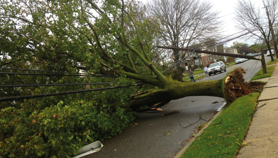
After last year’s record-breaking hurricane season, NOAA has made several updates to improve hurricane forecasting during the 2021 season.
In March, NOAA upgraded the flagship Global Forecast System (GFS) to improve hurricane genesis forecasting and coupled GFS with a wave model extending ocean wave forecasts from 10 days out to 16 days. Additionally, Global Positioning Satellite Radio Occultation (GPS-RO) data are now included in the GFS model, providing an additional source of observations to strengthen overall model performance.
Forecasters at the National Hurricane Center are now using an upgraded probabilistic storm surge model — known as P-Surge — which includes improved tropical cyclone wind structure and storm size information that offers better predictability and accuracy. This upgrade extends the lead time of P-Surge forecast guidance from 48 to 60 hours in situations where there is high confidence.
NOAA’s Atlantic Oceanographic and Meteorological Laboratory will deploy its largest array of air and water uncrewed systems to gather data designed to help improve hurricane intensity forecasts and forecast models. New drones will be launched from NOAA Hurricane Hunter aircraft that will fly into the lower part of hurricanes, and in the ocean, saildrones, hurricane gliders, global drifters, and air-deployable technology — called ALAMO floats — will track various parts of the life cycle of tropical storms.
“Although NOAA scientists don’t expect this season to be as busy as last year, it only takes one storm to devastate a community,” said Ben Friedman, acting NOAA administrator.
