All
Conservation Matters
by Ed Burke and Kelly Burke, Dennis K. Burke Inc.

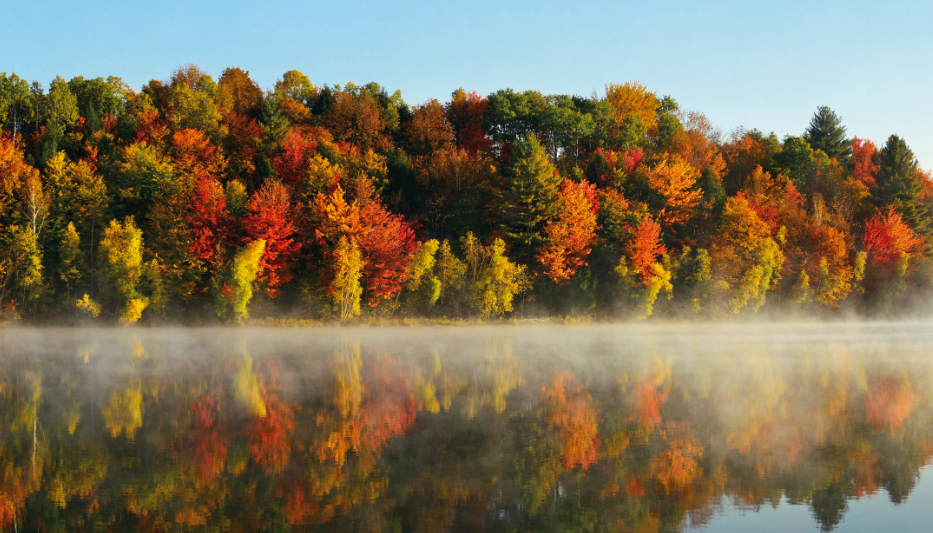
Study shows preserving forests would help slow climate change
A new study and mapping tool allow decision-makers to determine climate change impacts of forest loss, and carbon sequestration potential for forests over the next 30 years.
Each year, nearly 1 million acres of forest across the continental U.S. are lost to housing developments, commercial sites, solar farms and other uses. Massachusetts alone loses an average of 5,000 acres of forest annually.
Deforestation not only releases forest carbon into the atmosphere from the destruction of trees, but also erases one of the best tools we have for drawing carbon dioxide out of the atmosphere – forest growth.
What would happen if we halted this deforestation? Would doing so slow climate change, and how much? A research team at Clark University looked for answers to these questions.
Groundbreaking Study
The report, Avoided Deforestation: A Climate Mitigation Opportunity in New England and New York, was prepared by the research group of Dr. Christopher A. Williams at Clark University and released in September.
The study measures the climate mitigation that could be achieved in seven states across the Northeast (New York, New Hampshire, Maine, Vermont, Connecticut, Rhode Island, and Massachusetts) if they were able to turn deforestation around and prevent forest loss.
Collectively, New York and New England release 4.9 million tons of carbon dioxide equivalent emissions into the atmosphere each year due to forest loss, the report found. At the same time, the states are losing out on 1.2 million metric tons of CO2 annually that trees could have stored.
“The carbon impacts really add up, equaling 2% of all fossil fuel emissions in New England and New York State, 5% in New Hampshire and even 7% in Maine,” Dr. Williams said. “The study clearly shows that slowing the pace of forest loss is an important instrument in the fight against climate change.”
By leveraging satellite remote sensing datasets, forest plot measurements, and geospatial scientific computing, the research team was able to identify locations plagued by forest loss in recent decades, to assess the associated carbon emissions. For the first time, researchers can quantify the amount of future carbon sequestration and storage lost through deforestation.
Carbon Hot Spots
The second new release is a revolutionary online mapping tool from The Nature Conservancy. The tool is already getting significant use by land managers and other decision-makers to calculate the potential of intact forests across the continental U.S. to capture and store climate-changing carbon emissions through 2050. The tool shows that many of America’s forests with the highest carbon stocks and high potential for sequestration also are among the most important places for diverse species to find refuge from growing climate impacts.
This new analysis shows that under current conditions, forests across the continental U.S. would remove up to 865 million metric tons of CO2 from the atmosphere each year between now and 2050 if protected from development, severe wildfire and other major disturbances. That’s the equivalent of taking approximately 188 million gasoline-powered cars off the road each year.
“We can now identify the forests we can’t afford to lose if we want to tackle climate change and the loss of biodiversity,” said Mark Anderson, director of The Nature Conservancy’s Center for Resilient Conservation Science. “Conserving these forests will not only help us meet carbon-reduction goals, but many of the carbon hotspots that were identified also are resilient to climate change and can provide plant and animal species safe places to live as their habitats are altered or destroyed by climate impacts.”
“Forests in every state are removing millions of metric tons of carbon pollution from the atmosphere,” Dr. Williams said. “This new analysis and visualization offer a powerful tool that can help decision-makers assess carbon in forested landscapes, not only now but into the future, and to factor that into their natural resource and conservation planning.”
The research team is actively providing technical assistance to planners and managers across the U.S.
Getting Solar Off the Ground
A rapid transition to solar photovoltaic systems is a crucial part of climate mitigation. But the choices we make in where to install these systems have a significant impact on forests and farmlands. Since 2012, an estimated 6,000 acres or more of previously undeveloped land have been converted to large-scale, ground-mounted solar arrays.
The Massachusetts Audubon Society suggests that this loss can be avoided by incentivizing solar installations within already developed sites and lands with lower natural resource values (parking lots with solar canopies, roofs, highway right-of-ways, and large turf grass areas).
According to the National Renewable Energy Laboratory, existing Massachusetts rooftops could support up to 22.5 gigawatts of solar capacity, meeting up to 47% of total electrical demand.
Ed and Kelly Burke are respectively, Chairman of the Board and Senior Marketing Manager at fuel distributor Dennis K. Burke Inc. They can be reached at 617-884-7800 or ed.burke@burkeoil.com and kelly.burke@burkeoil.com.
Related Posts
 What’s Next in Boiler Technology
Posted on June 25, 2025
 Data Delivers!
Posted on April 28, 2025
 Harnessing Payment Data to Increase Profitability
Posted on March 10, 2025
 DeepSeek Is Our AI Wake-Up Call
Posted on March 10, 2025
Enter your email to receive important news and article updates.
